The Forest Value Benchmark
ForestIndex measures Europe's forests from space — biomass, structure, species, disturbance — and anchors fragmented transaction data to physical fundamentals. The result: the first comparable forest value benchmark across Europe.
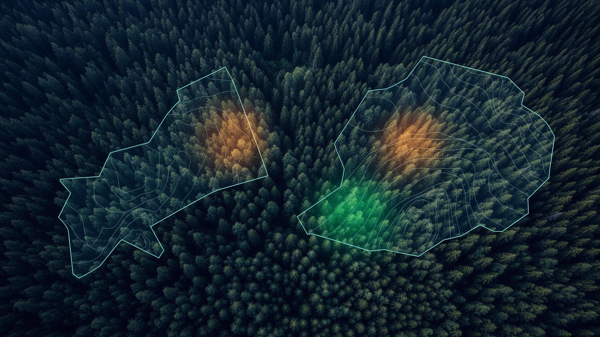
Why satellites
Registries tell you what a forest sold for. Satellites tell you what a forest is. ForestIndex fuses both into one comparable physical reference.
Registries show prices, not assets
A €/ha figure says nothing about standing volume, species, age, or disturbance. Transactions across 27 jurisdictions are not comparable on price alone.
You cannot field-cruise a continent
Ground inventory does not scale across Europe and national forest inventories lag years behind.
Earth observation is the normalizing layer
Sentinel-2 optical, Sentinel-1 SAR, spaceborne LiDAR and ESA's Biomass mission give a consistent, repeatable physical profile of every forest parcel.
Built on Copernicus Sentinel-1 & Sentinel-2 · ESA Biomass · GEDI / ICESat-2
An index house, not a single number
ForestIndex is the platform. Beneath it sits a family of benchmarks and monitoring layers, each built on the same satellite-anchored methodology.
- In development
Forest Value Benchmark — Europe
Flagship pan-European benchmark fusing transaction comparables with satellite-derived physical fundamentals.
- Live pilot
Latvian Forestland Value Index
Pilot index combining registry data and Earth observation under a volume-weighted methodology.
- Coming 2026
Forest Risk & Monitoring Layers
EO-derived disturbance detection, storm and harvest alerts, and asset monitoring for forest portfolios.
Who it's for
Natural-capital & forest funds
Comparable valuation across geographies and vintages.
Banks & insurers
Collateral valuation and physical-risk assessment grounded in observed assets.
Brokers & registries
Benchmarking and price discovery anchored to a continental reference.
Forest owners & asset managers
Portfolio monitoring and an objective value reference for every parcel.
Regulatory tailwind
The EU Forest Monitoring Framework and EUDR geolocation requirements are moving the market toward satellite-based forest intelligence. ForestIndex is built for that direction of travel.